Computer vision · Ports, tourism and city
Flooding and water levels
Measures water level in canals and streets and alerts before flooding.
Technique
Segmentation
Separates the exact silhouette of each object at pixel level to measure areas, shapes and surfaces.
Benefits
- Control of vessels, visitors and public space
- Real-time information for operations
- Safer, better organized cities and destinations
What you get
A solution ready to operate
- Real-time alerts via WhatsApp, email or the ERP
- Dashboard with KPIs and reports by hour, day and zone
- Evidence with image and time of every event
- Works with existing IP cameras in most cases
- On-premise or cloud processing, depending on your network
GETS computer vision school
How a camera sees with artificial intelligence
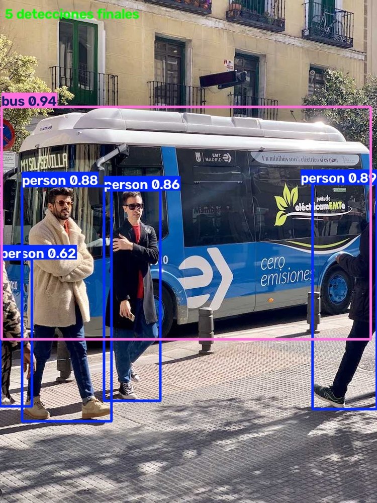
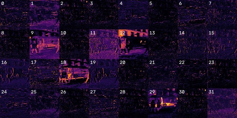
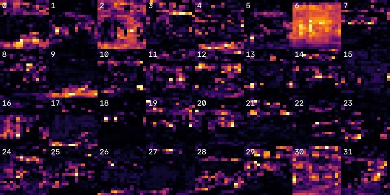
These are real results from our computer vision school: from image to detection.
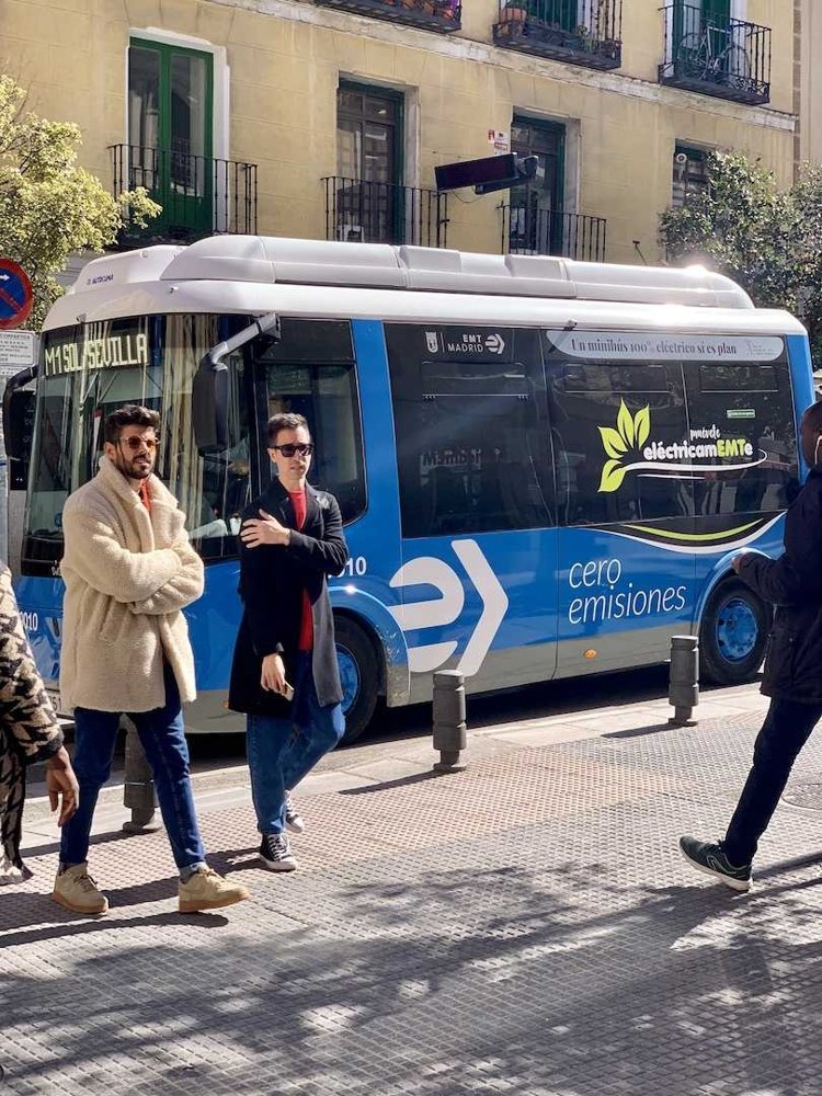
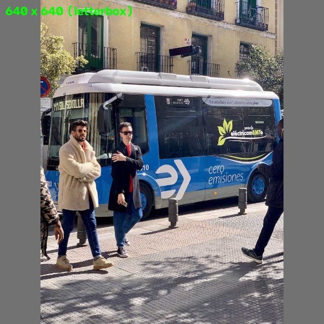
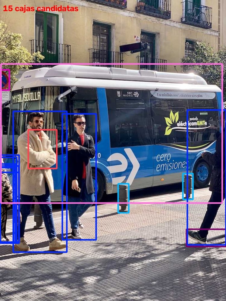
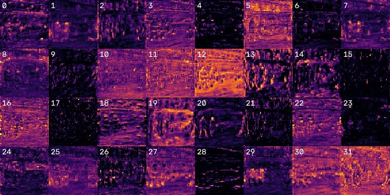
What the neural network learns, layer by layer
How we work
From assessment to a working model
01
Assessment
We review the case, the cameras and the site.
02
Pilot
We test the model with real images from your operation.
03
Integration
We connect alerts and reports to WhatsApp, email and your ERP.
04
Operation
Monitoring, tuning and continuous improvement of the model.
Frequently asked questions
Will my current cameras work?
In many cases, yes; we evaluate resolution, angle and lighting.
What about privacy?
We design every solution in compliance with Law 1581 of 2012, Colombia's personal data protection law.